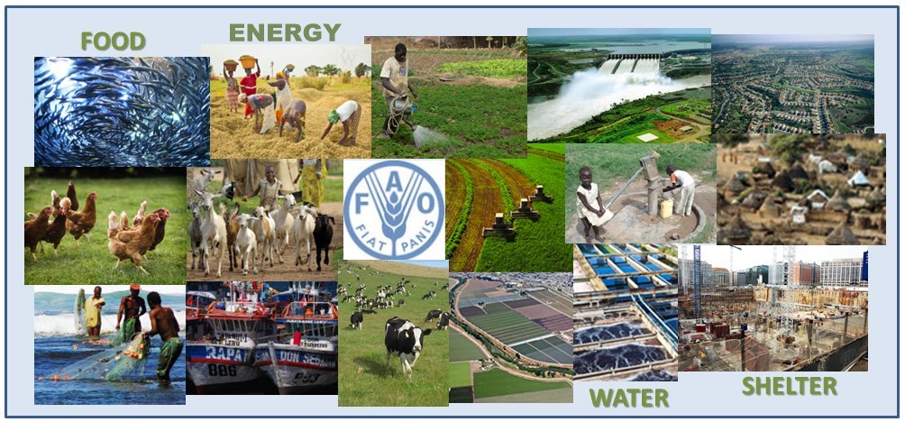
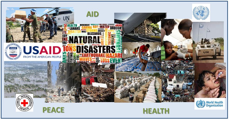
As the World’s population density increases, resources for food and water, energy, space, and resources to build shelter become more limited. Geospatial technology shows us where resources are available and where they are needed.
Being EarthSightful® is an attitude and mind-set to help consider interactions between humanity and the Earth. As the world’s population grows, climate changes, and unequally distributed resources become ever more limited. When people lose hope and basic necessities, desperation sets in. Many of the conflicts around the world are leveraging people whose level of desperation is extreme. Geospatial science and technology represent powerful tools to help link humanity’s needs with what the Earth can provide, and aid in accurate and timely decisions.

‘Be EarthSightful ®’ … we can no longer think about ourselves without considering the overall impacts of lack of resources due to conflict, global climate change, or mismanagement. Environmental Security is becoming a bigger and bigger topic – but it needs to get out of the think tanks and integrated into mainstream policy making. Being EarthSightful brings all parties together to be better custodians of the Earth and humanity. How can we reduce the levels of desperation, hunger, thirst, disease and poverty in much of the world?
OUR APPROACH
We offer a range of Remote Sensing and Geospatial services, all designed to help your company reach its potential, and minimize costs and risks. Our services are available a la carte so you can get precisely what you need.
Each company or agency is unique. One-size-fits-all approaches will often not help your business reach its full potential. We deliver custom solutions, tailored to you – your industry, your culture, your one-of-a-kind challenges.

